University of Minnesota
http://www.umn.edu/
612-625-5000
http://www.umn.edu/
612-625-5000
Minnesota Biodiversity Atlas
Bell Museum
Dataset: MIN-Bryophytes
Search Criteria: Nepal; Annapurna Himal; excluding cultivated/captive occurrences
1
Page 1, records 1-4 of 4
Bell Museum bryophytes | |
 MIN:Bryophytes | 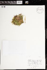 972234[1373282]Komarkova, Vera B-718211978-08-16 Nepal, Annapurna Himal, Between villages of Kaski and Naudanda, 16-28 km north of Pokhara along trail to Jomosom. American Women's Himalayan Expedition to Annapurna., 1748 - 1460m |
MIN:Bryophytes | 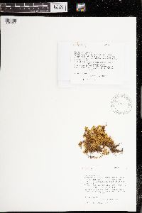 972235[1373283]Komarkova, Vera B-718191978-08-21 Nepal, Annapurna Himal, Between villages of Ghasa and Chhoya, 120 to 130 km north of Pokhura along trail to Jomoson., 2060 - 2435m |
MIN:Bryophytes | 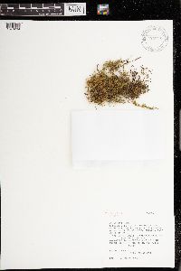 972236[1373284]Komarkova, Vera B-718391979-08-18 Nepal, Annapurna Himal, Between the villages of Tirkedhunge and Ghorepani, 40-73 km north of Pokhara along trail to Jomoson., 1495 - 2835m |
MIN:Bryophytes | 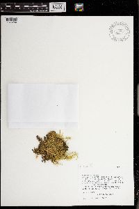 972242[1373290]Komarkova, Vera B-718221978-08-16 Nepal, Annapurna Himal, Between villages of Kaski and Naudanda, 16-28 km north of Pokhara along trail to Jomosom. American Women's Himalayan Expedition to Annapurna., 1748 - 1460m |
1
Page 1, records 1-4 of 4
Google Map
Google Maps is a web mapping service provided by Google that features a map that users can pan (by dragging the mouse) and zoom (by using the mouse wheel). Collection points are displayed as colored markers that when clicked on, displays the full information for that collection. When multiple species are queried (separated by semi-colons), different colored markers denote each individual species.